
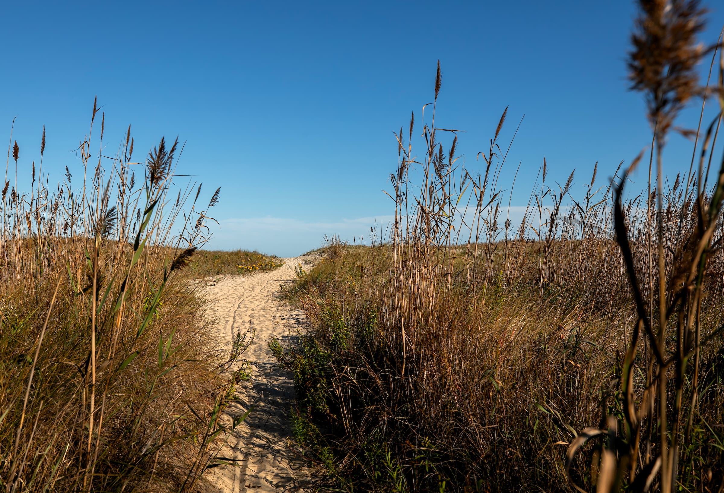
The refuge gate stands a quarter of a mile from our front door, and the first hour after sunrise is the best of the day to walk through it. Anyone arriving on foot or by bicycle pays nothing; the entrance pass is for vehicles.
Beyond the gate lie fourteen thousand acres of beach, dune, salt marsh and maritime forest, and some fifteen miles of trail, nearly all of it flat and nearly all of it paved. The Fish and Wildlife Service calls this one of the most visited refuges in the country, and yet the greater part of that traffic is bound for the sand. It passes the trailheads without slowing, so that the trails themselves stay quiet through most hours of most days.
The refuge was established in 1943 for the migratory birds, and it belongs to them first. The walking is incidental to that, and the better for it.
The Wildlife Loop
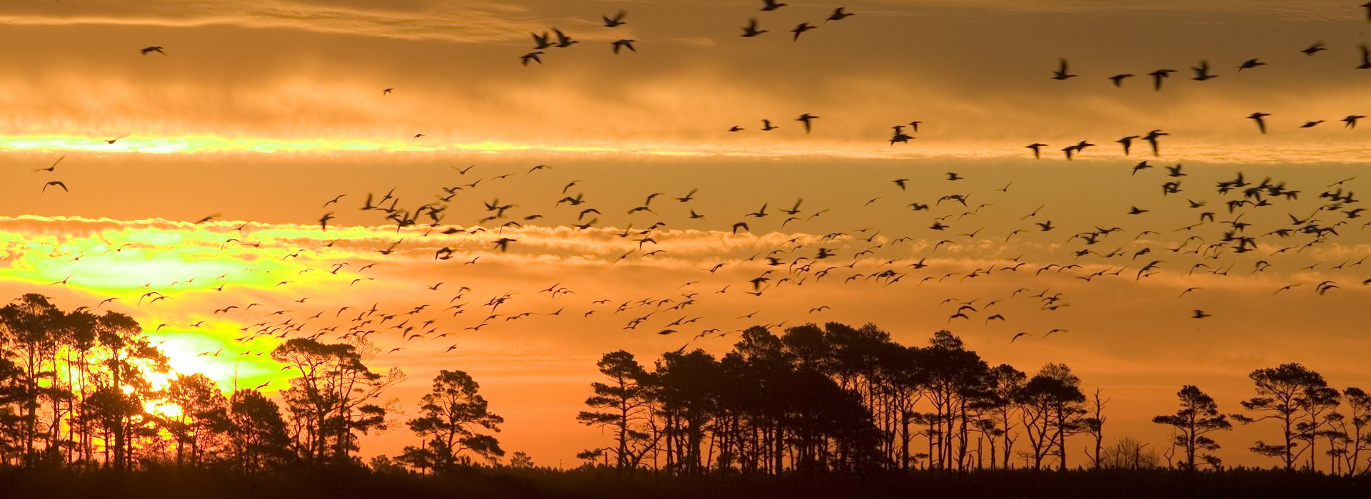
Three and two-tenths of a mile of pavement lie around a shallow impoundment, closed to automobiles until three in the afternoon. For the whole of the morning the loop belongs to whatever has come down the flyway in the night.
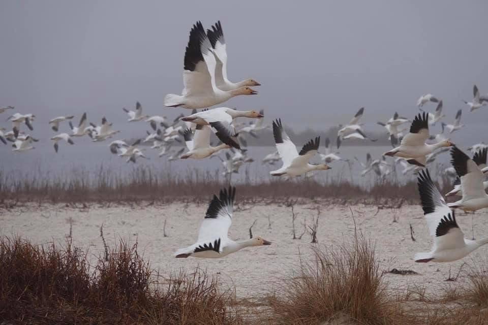
In December the water is crowded and loud. Snow geese rise from it in sheets of several thousand, and the sound arrives a half-second behind the sight, so that the eye runs always a little ahead of the ear. Tundra swans keep to the open middle, where the low sun finds them. By July the same water has gone quiet: a snowy egret stands in its own reflection for long minutes together, a glossy ibis works the shallows with slow sweeps of its curved bill, and heat lifts off the asphalt in a shimmer through which the far bank wavers and reassembles.
By September the interest has moved to the last quarter of the loop, where falling water uncovers the mud and the shorebirds come to it — dowitchers and yellowlegs, dunlin, semipalmated and least sandpipers, and the plovers among them, all feeding on the same flat but at different depths, each according to the length of its bill. What looks at first like one flock is six or seven species keeping loose company, and the division of a single acre of mud among them is as orderly as anything in the refuge.
The loop runs under open sky nearly the whole way round, which is its advantage in October and its difficulty in August.
The Woodland Trail
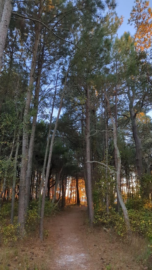
A mile and three quarters of pavement loops through loblolly pine and maritime forest, or a little over two and a quarter if the Pony Overlook spur is included.
The forest is not in perfect health, and that is a part of what makes it worth walking. Southern pine beetle has been through it, and a good many of the loblollies stand dead and silvering. Woodpeckers have taken up residence in the standing dead wood, and on a still morning several of them can be heard at once, working at different pitches. Delmarva Peninsula fox squirrels cross the pavement, larger and grayer than the squirrels of the mainland and less easily alarmed. In May the canopy fills with warblers moving north, and in October with the same birds returning in duller plumage, traveling in loose company with chickadees and titmice; a flock will pass overhead in rather less than two minutes and leave the wood silent behind it.
The spur ends at a platform above one of the fenced compartments where the ponies are kept, and what is visible from it is a matter of weather and luck. On some mornings the herd grazes near enough that the sound of them tearing at the cordgrass carries to the platform. On others there is only marsh running gold to the horizon and a single dark shape half a mile out that may or may not be a horse.
The Bivalve Trail, a tenth of a mile of unpaved path, is the only trail in the refuge that is not paved, and most walkers pass its turning without noticing it. It runs down through the pines to Tom’s Cove and ends at a few yards of sand facing west across the water. In the last hour of daylight it is the quietest place in the refuge, and it is usually empty.
Swan Cove
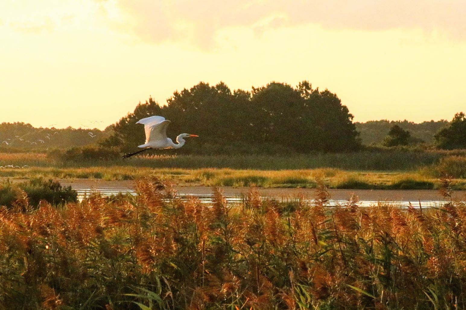
Swan Cove Trail leaves the Wildlife Loop and runs a third of a mile to the Atlantic. No road reaches this stretch of sand; it is held by whoever has walked or ridden out to it, three and a half miles from our door if the loop is taken the whole way round.
The walk crosses three kinds of water in the space of an hour. Fresh water first, then the brackish edge where muskrats cut their channels and an otter now and then surfaces to consider the walker before going under again, then dune and beach grass, and at last the sound of surf, which arrives before the sight of it. Swan Cove itself fills in winter with swans, geese and a great variety of ducks. In summer it is given over to the waders, and the herons, egrets and ibis stalk the shallows in silence.
The Marsh Trail
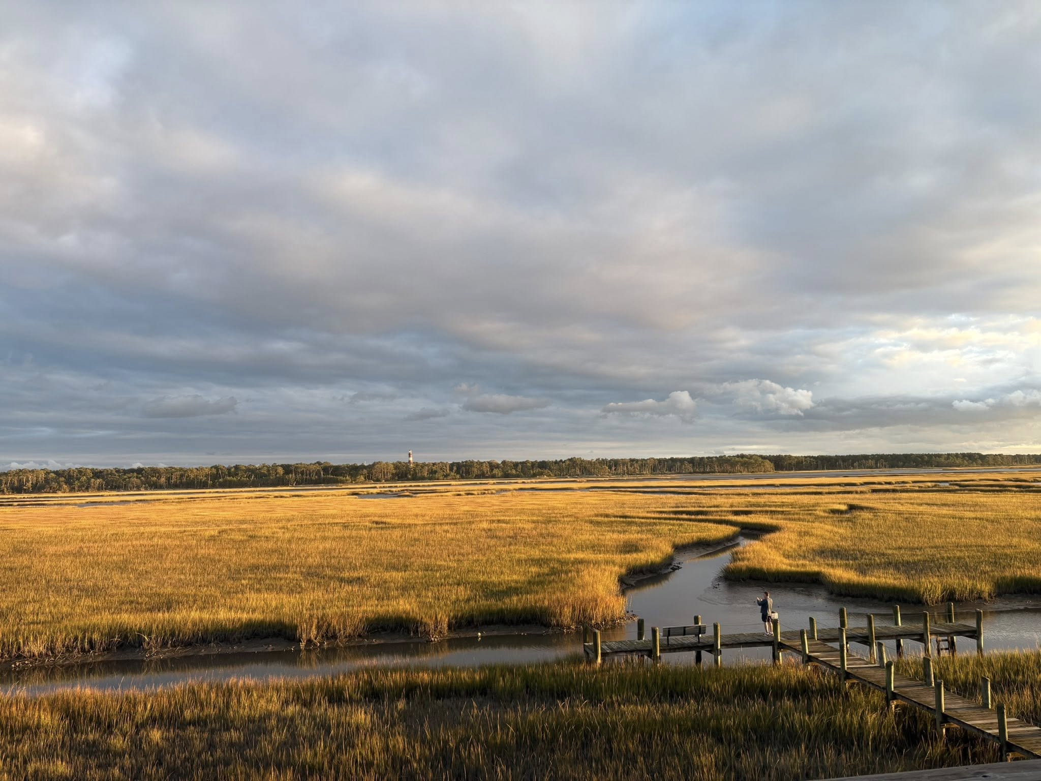
The Marsh Trail lies inside the Wildlife Loop, near its exit, and can be reached from the loop’s parking area: two thirds of a mile of packed sand and grass ending at a raised wooden platform above Snow Goose Pool. It is the quietest of the short walks, and it offers the one thing the others cannot, which is height. From the boards the water is seen from above rather than across, and that alters what can be made out. Ducks that would be anonymous at a distance resolve into species, and a bittern that would be invisible against the bank stands clear of the mud.
Tree swallows hunt the air above the marsh grass here in numbers that unsettle the whole sky, and through the summer dragonflies lift from the path ahead of every footfall. Twenty minutes and a pair of binoculars are enough.
The Lighthouse Trail
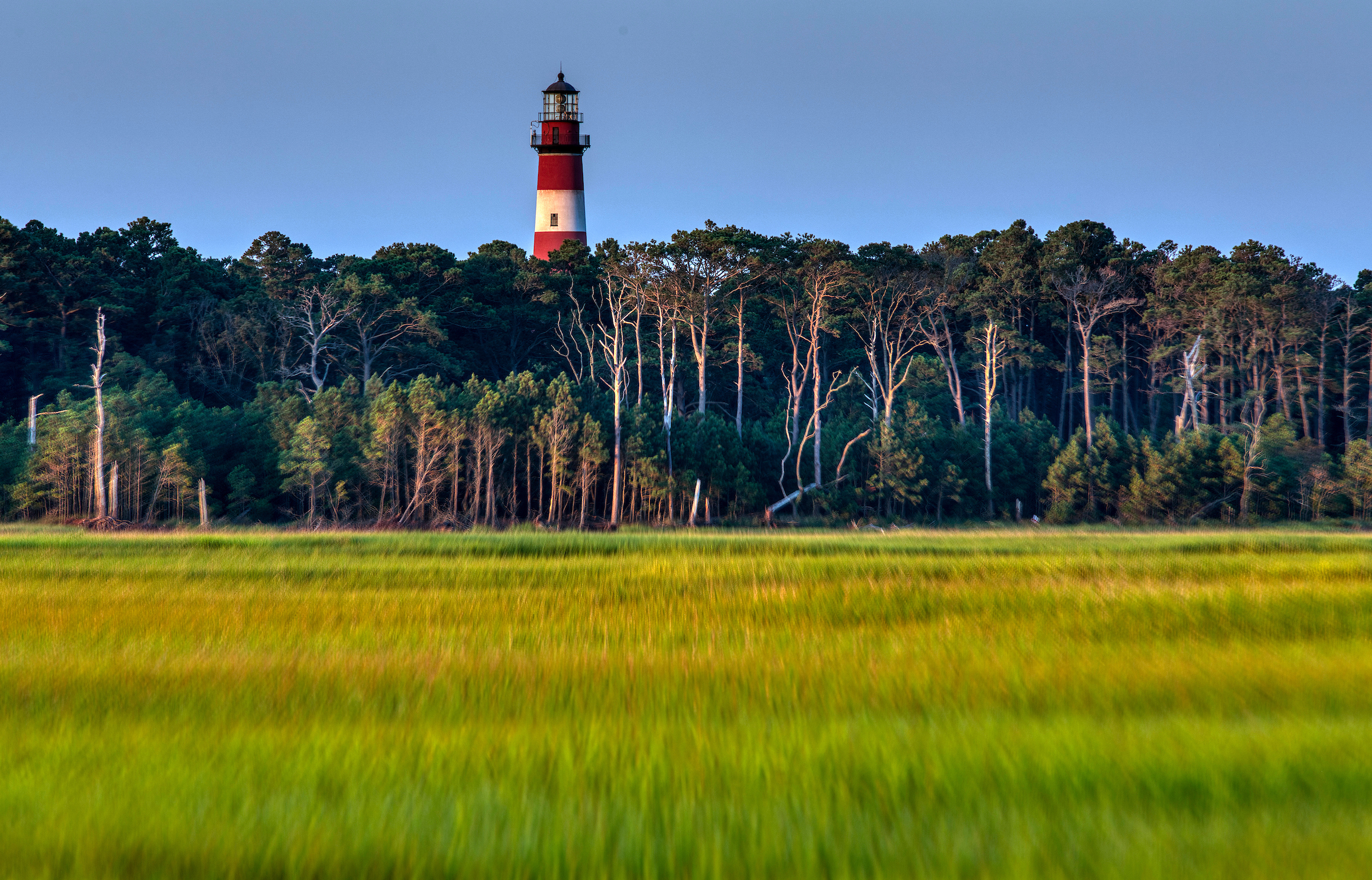
A third of a mile, unpaved, and the only climb on either island. It rises through woods where the fox squirrels and the toads are and ends at the foot of the Assateague Lighthouse, banded red and white, still warning shipping off shoals that have not moved since it was raised.
It is also the worst trail in the refuge for mosquitoes, and the reason is structural: short, shaded, sheltered from the wind and hemmed in by wet woods, which is everything a mosquito requires. In high summer they are formidable. Early morning, covered arms and legs, or a visit in October are the three answers.
Visitors with mobility impairments can reach the lighthouse by the access road opposite the visitor center.
Beach Road
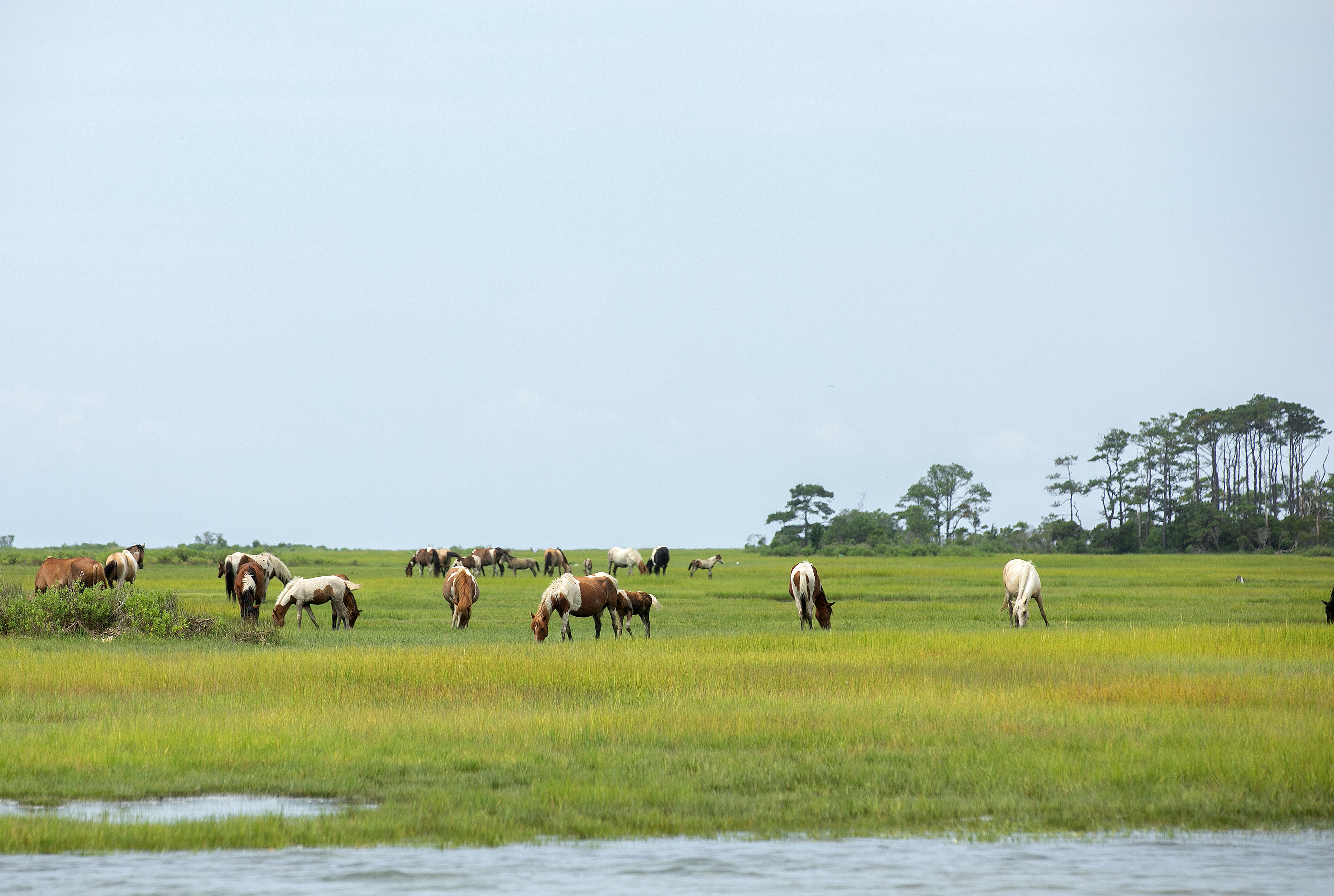
The paved path beside Beach Road runs close to two miles from the edge of town out to the refuge, and it is the piece of trail our guests use most, because it begins where they are already standing.
The water alongside it is the reason to take it slowly. Great and snowy egrets, tricolored and little blue herons, white and glossy ibis all feed within thirty feet of the path through the warm months and pay a walker very little attention. Clapper rails call from the cordgrass, harsh and clattering, and are heard far more often than they are seen. At the culvert partway along, low tide uncovers the mud flats, and the birds come to them.
Tom’s Cove Hook
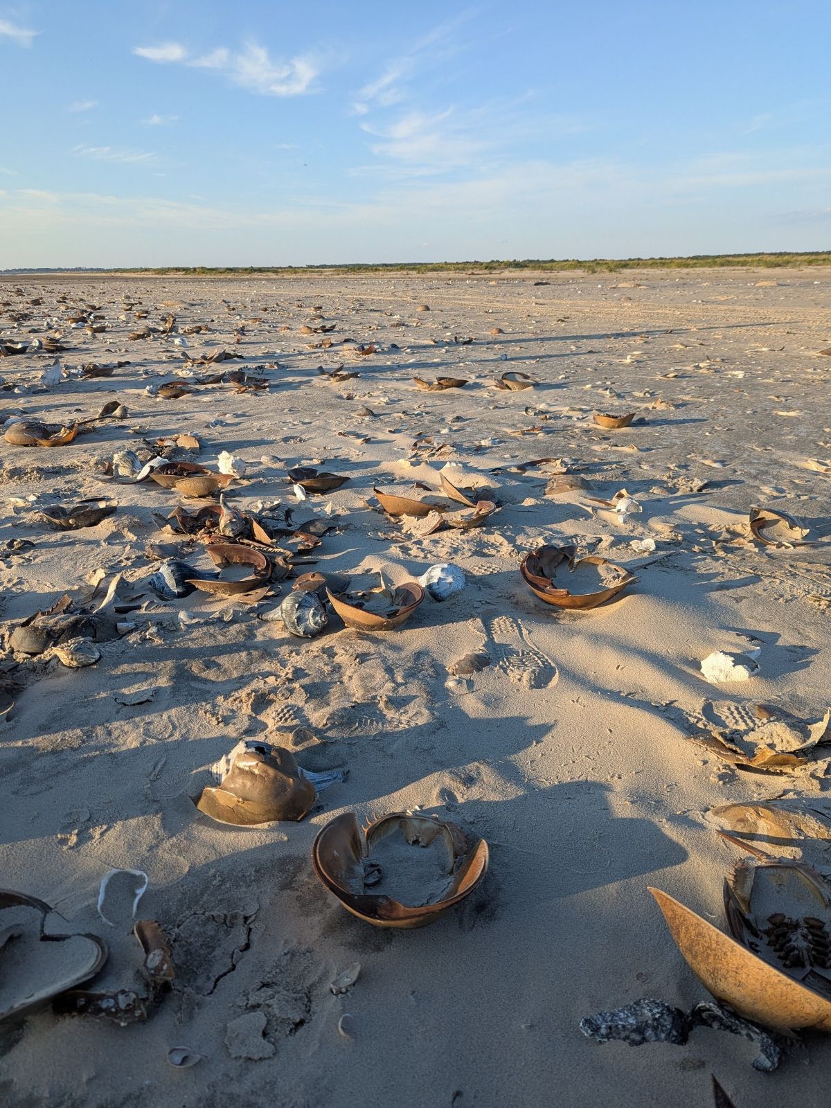
The Hook is not a trail. It is three miles of soft sand along a spit that the ocean rearranges each winter, and the walk out to the curve and back takes three to four hours with no shade, no water and no shelter anywhere along it. The return cannot be shortened.
It closes on the fifteenth of March each year so that piping plovers may nest, and reopens when the chicks have fledged, usually near the first of September. The shorebirds are already there when it opens — oystercatchers, godwits, whimbrel, ruddy turnstones, dunlin, sanderlings and plovers of several kinds — and so is the best shelling of the year, whelks lying thick enough along the surf line that one picks a way between them. Low tide is the hour for it, when the water draws back and the birds follow it out.
Carry more water than seems necessary, and wear old shoes. We have written more about the Hook here.
The Island Nature Trail
Not everything worth walking lies on refuge land. The Island Nature Trail, on Hallie Whealton Smith Drive here on Chincoteague, suits a late afternoon: a paved loop of seven tenths of a mile with benches along the south side of the road, and a natural-surface loop of about four tenths through pine and glade on the north. It charges no fee and has no gate, and leashed dogs are permitted on the paved side, which is more than the refuge allows.
On a bicycle
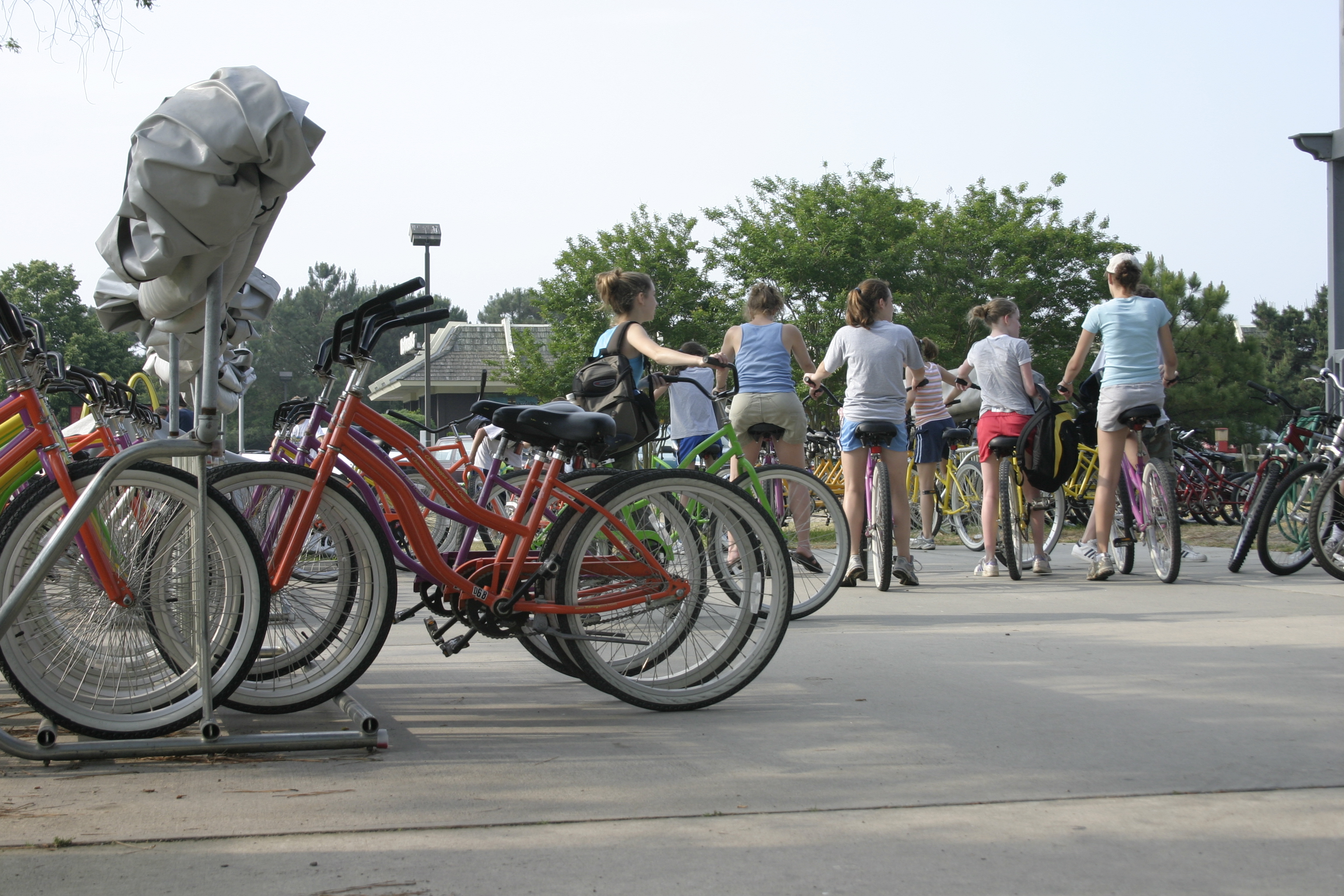
The refuge suits a bicycle as well as it suits a pair of boots: fifteen miles of flat paved trail, no hill anywhere on the island, and a loop that keeps cars off itself until three in the afternoon.
The Wildlife Loop is best ridden early, when it is empty enough to stop in the middle of the road for whatever has moved on the water. The Woodland Trail added to it covers most of the refuge before lunch. For the beach, the loop round to Swan Cove and down onto the sand is three and a half miles from our door, every foot of it paved, and it shows more along the way than a car will show in a day.
Beach cruisers, tandems, children’s bicycles and bicycles with child seats and carts all come from the Bike Depot next door, which has been in the family since the 1980s and has been run by Michael since 2009. No bicycle will manage the Hook, or any other soft sand; the pavement is where a bicycle ends and walking begins.
Two practical matters. The loop opens to cars at three, and those cars are watching birds rather than cyclists. And tree roots have lifted the pavement in places, most of all along the Woodland Trail: paved here does not mean smooth.
Accessibility on the trails
This is one of the most accessible wild places on the coast, and it is worth saying plainly rather than burying in a footnote. Every trail in the refuge is paved except the Bivalve spur, and the ground is as flat as ground gets, so a wheelchair, a walker or a stroller can reach the open water, the pine forest, the pony overlook and the edge of the Atlantic. Very few refuges anywhere can offer that.
The honest caveat is the tree roots. They have lifted the asphalt into low ridges here and there, most noticeably along the Woodland Trail, and they will jolt you.
Three things extend the reach further. The Wildlife Loop opens to cars at three in the afternoon, which puts the best waterfowl water on the island within reach of anyone who cannot walk it. The Beach Road overlooks work from the roadside with the engine off. And the access road opposite the visitor center runs up to the lighthouse, which is the way to see it without the climb.
Down at the beach, the Park Service keeps beach wheelchairs at the parking lots in season and rolls mobility mats out over the sand. Availability thins in the off months, so it is worth calling ahead rather than arriving in hope.
Our own two floors have no elevator, and rooms 135 and 136 are our accessible rooms. Our accessibility page has the rest of the detail, and we have written a longer guide to getting outdoors here with a disability.
Walking with children
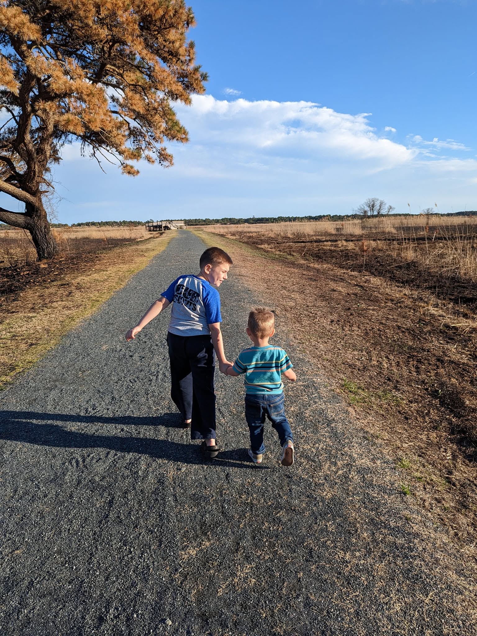
Flat pavement and no traffic before three is a rarer combination than it sounds, and it is why a five-year-old on a first two-wheeler can ride the Wildlife Loop in the morning with nothing to fear, and why a stroller goes anywhere a stroller might reasonably want to go.
The difficulty with children is not distance but stopping. A fiddler crab at the edge of the mud will hold a four-year-old longer than a mile of scenery, and the nuthatches working head-first down the trunks of our own pines beat any distant duck when you are six. A walk that can be abandoned halfway through without anyone minding is the right sort of walk. The front desk keeps Birding Bingo cards: twelve birds a child will plausibly see, a gull and a cardinal among them, and a small prize for finding eight. We have more on birding with children here.
Two things to say before setting out, and to mean them. The ponies are wild animals; the law requires forty feet, about the length of a bus, and they bite and they kick. And nothing out there will supply you once you have set off — no water, no shade, no shop. Pack in, and pack out.
A word of caution
From May into November this is a salt marsh, and a salt marsh is a nursery for biting insects on a scale that has to be experienced to be credited. Mosquitoes rise at dawn and again at dusk in numbers that will change a plan. Worse, and wholly indifferent to whatever has been sprayed on, are the greenhead flies: squat, gray, gold-eyed, silent, and equipped to cut. They belong to high summer and they draw blood. Long sleeves and long trousers will do more on a bad evening than any repellent, though repellent is worth carrying as well, with DEET, picaridin or oil of lemon eucalyptus in it. For children between two and twelve the American Academy of Pediatrics advises ten percent DEET or less, and oil of lemon eucalyptus should be kept off anyone under three.
The wind decides. Greenheads are at their worst on the beach when the air comes from the west, off the marsh that raised them, and an east wind off the ocean pushes them back into it. Islanders stay off the beach on a west wind.
Ticks are with us from spring through fall, and they are the argument for staying on the trail rather than cutting through the grass. Trousers tucked into socks on anything unpaved, and a check when you get back to the room. Poison ivy grows luxuriantly along the wooded edges and turns a fine red in October.
The sun is the last of it. Beach Road, the Wildlife Loop and the Hook run open the whole way, with very little tree cover. In July an eight o’clock start is a different walk from a ten o’clock start, and on the Hook in September it is a different proposition altogether.
A shot may be heard out over the marsh in duck season. Hunting is permitted in areas around the trails, at a legal distance from them, and the sound carries a great deal farther than the shot does.
Questions walkers ask
Which refuge trails are wheelchair accessible?
Every trail in the refuge is paved except the Bivalve spur, and all of them are flat: the Wildlife Loop, the Woodland Trail with its Pony Overlook spur, Black Duck and Swan Cove. Tree roots have lifted the pavement into small ridges in places, most noticeably on the Woodland Trail. The Wildlife Loop opens to cars at three in the afternoon, the lighthouse access road is available to visitors with mobility impairments, and beach wheelchairs and mobility mats are available from the Park Service at the beach in season.
Do you need a pass to walk into the refuge?
No. The entrance pass is a vehicle pass. On foot or by bicycle there is no fee at all. From our door the gate is a quarter-mile walk. Current pass prices are on the U.S. Fish and Wildlife Service fees page.
Can you bike the trails at Chincoteague?
Yes, and it is the best way to see the refuge in a morning. Fifteen miles of flat paved trail, no hills, and the Wildlife Loop stays closed to cars until three in the afternoon. Rentals are next door at the Bike Depot, which has children’s bikes, bikes with child seats and kiddie carts as well as adult cruisers and tandems. Soft sand, including the Hook, is for walking only.
Which trail is best for seeing the ponies?
The Pony Overlook spur off the Woodland Trail, which ends at a platform above one of the fenced-in areas. Sightings are never promised, and the herd may be far out in the marsh.
How bad are the mosquitoes?
It depends entirely on rainfall and temperature. A good rain followed by hot weather will hatch a brood about a week later, and those weeks are brutal. If it has been generally dry or cool, they are quite manageable. The greenhead flies of high summer can also be a problem, especially when the wind is out of the west.
When is Tom’s Cove Hook open?
Roughly the first of September through the fourteenth of March. It closes on March 15 for the nesting piping plovers and reopens once the chicks have fledged.
Are dogs allowed?
Not on the refuge trails. The paved south loop of the Island Nature Trail, here on Chincoteague, welcomes them on a leash. We are unable to accommodate pets at the inn.
Come and walk it
We are a quarter mile from the gate, which means the Woodland Trail and the Wildlife Loop are minutes from your room and free on foot. The pine-side balconies look into the loblollies where the warblers and the nuthatches feed, and the listening station on the grounds will tell you what has been calling here this month. Tell the desk the night before and your breakfast will be packed and waiting, so that you can be through the gate while the sky is still the color of a shell.
Check availability · (757) 336-5511 · More on birding here